On October 24, 2018, in the framework of XVII Annual strategic planning leaders forum of the regions and cities of Russia, a workshop «Satellite data application for the monitoring of territories» was held in St. Petersburg.
The workshop was organized by BalticSatApps project partners: Committee on IT and Communications, Russian-European Innovation Partnership, St. Petersburg Institute for Informatics and Automation of RAS and Finnish Meteorological Institute. The event took place at St. Petersburg Democenter.
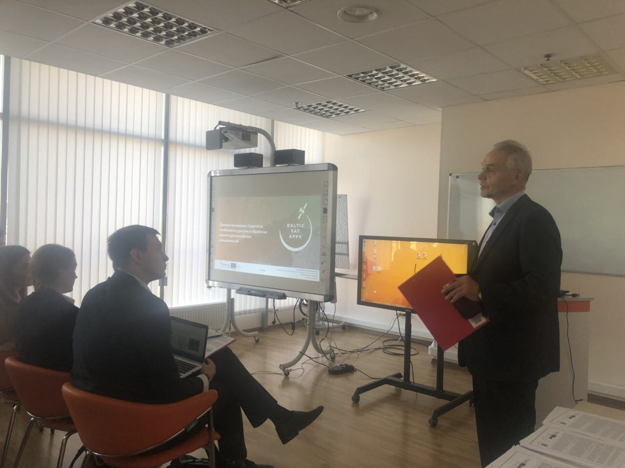
At the seminar the staff of LITSAM Viacheslav Zelentsov and Ilya Pimanov presented a report on the following topic: «Copernicus data: key features of access and processing for Russian users».
The report reviewed Copernicus data available for the territory of Russia – satellite images and thematic products created on their basis.
Particular attention was paid to the experience of using satellite data (including Sentinel images) to monitor the emergencies, land cover, agriculture and other objects within the LITSAM projects.
The practical part of the seminar included the downloading of Sentinel-2 data for the territory of the Leningrad region and demonstration of the possibilities for their processing by the means of open-source software.