Zelentsov V. А., Kovalev А. P., Pimanov I. Yu. Hierarchical control system for territory management using heterogeneous spatial data // Izv. vuzov. Priborostroenie. 2016. Vol. 59, N 11. P. 944—951 (in Russian). DOI: 10.17586/0021-3454-2016-59-11-944-951.
Pimanov
Processing of SAR amplitude images with posting the results on web server
Literature
Ponomarenko M.R., Pimanov I.Yu. Processing of SAR amplitude images with posting the results on web server // J. Sib. Fed. Univ. Eng. technol., 2016, 9(7), 994-1000. DOI: 10.17516/1999-494X-2016-9-7-994-1000
GIS and radar imagery data for mining facilities monitoring
Literature
Pimanov I. Yu., Ponomarenko M.R. GIS and radar imagery data for mining facilities monitoring // Proceedings of the 9th conference «Information technologies in management» (ITM-2016), St. Petersburg, JSC “Concern CSRI Elektropribor” 2016, 435-439.
Remote Sensing for Environmental Monitoring. Complex Modeling
Literature
Victor F. Mochalov, Andrei V. Markov, Olga V. Grigorieva, Denis V. Zhukov, Olga V. Brovkina, Ilya Y. Pimanov Remote Sensing for Environmental Monitoring. Complex Modeling //Advances in Intelligent Systems and Computing vol. 466, Springer International Publishing Switzerland, 2016, pp. 497-506. DOI 10.1007/978-3-319-33389-2_47
Creation of intelligent information flood forecasting systems based on service oriented architecture
Literature
Zelentsov, V.A., Potryasaev, S.A., Pimanov, I.J., Nemykin, S.A. Creation of intelligent information flood forecasting systems based on service oriented architecture //Advances in Intelligent Systems and Computing vol. 466, Springer International Publishing Switzerland 2016, pp 371-381 DOI 10.1007/978-3-319-33389-2_35
GeoCa-2015: LITSAM Workshop
News
On November 12, 2015 in the framework of the International Conference on Applied Science «Geodesy, Cartography, Geoinformatics and Cadastre. From idea to application» (GeoCa-2015) our laboratory made a report «Implementation of interdisciplinary projects based on an open GIS platform». In addition, the master-class demonstrated the capabilities of the information-analytical system «RegionView» – GIS platform developed in LITSAM.
You can take a look at the work of RegionView at any time by sending a request to info@litsam.ru.
The first conference on the use of remote sensing data in agriculture
News
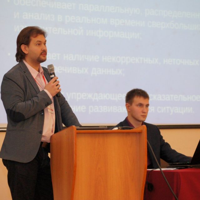
SPIIRAS was one of the organizers of the first specialized conference on the use of remote sensing in agriculture.
The conference was held on September 16-17 in Agrophysical Institute. Laboratory staff took an active part in preparing and holding the conference. We presented a series of reports authored by Sokolov B.V., Zelentsov V.A., Potryasaev S.A., Kogdanov A.N., Pimanov I.Y., Mochalov V.F. Report of the Laboratory “Directions of development of information and analytical support of regional management systems agro-industrial complex” was submitted at the plenary session. The conference participants noted the usefulness of this annual event with the expansion of the invited organizations in future. The materials of the Congress can be found in the laboratory.

