Zelentsov V.A., Potryasaev S.A., Pimanov I.Yu., Ponomarenko M.R. The use of synthetic aperture radar (SAR) data in the analysis of inundated areas during the spring flood // Engineering survey. 2018. 12(7-8). 54-60. https://doi.org/10.25296/1997-8650-2018-12-7-8-54-60
Ponomarenko
Use of space radar sensing data for verification of results of short-term forecasting of high water flood
Literature
Pimanov I.Yu., Ponomarenko M.R. Use of space radar sensing data for verification of results of short-term forecasting of high water flood // Proceedings of International scientific practical conference of students, graduates and young researchers «Geography in the modern world: century progress and new priorities» dedicated to the 100th Anniversary of the creation of the 1st special geographic higher educational institution in Russia – the Geographical Institute – and held within the framework of the XIV Big Geographical Festival. – St. Petersburg, 2018, 636-639 [Electronic publication].
14th Big Geographical Festival
News
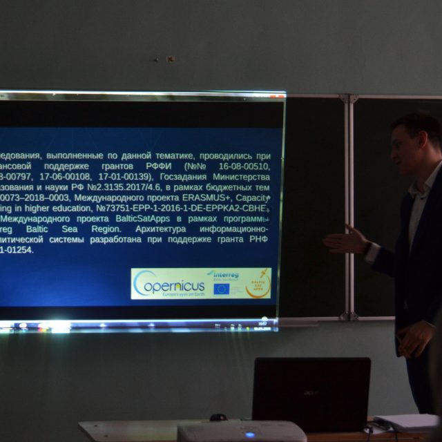
On April 06-08, 2018 the 14th Big Geographical Festival took place at the Institute of Earth Sciences of St. Petersburg University.
BGF-2018 was dedicated to the 100th Anniversary of the creation of the 1st special geographic higher educational institution in Russia – the Geographical Institute.
Within the framework of the festival on April 07, 2018 the International scientific and practical conference of students, postgraduate students and young scientists was held.
One of the main and most visited sections of the conference is annually “Cartography and geodesy, GIS-technologies in geographical research, land management and cadastres”.
On the section «Remote sensing» (expert of this section was the head of the Department of Cartography and Geoinformatics, PhD Panidi Evgeny Alexandrovich) LITSAM junior researcher Ilya Pimanov presented a report on the following topic:
Use of space radar sensing data for verification of results of short-term forecasting of high water flood (Authors: Pimanov I.Yu., Ponomarenko M.R. ).
Mapping Water Bodies from Space 2nd Conference (MWBS-2018)
News
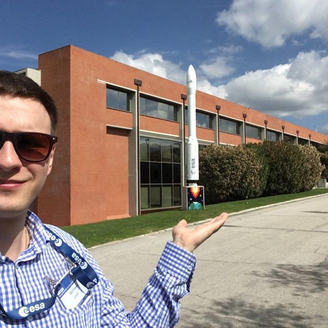
On 27-28 March, 2018 the 2nd International Conference «Mapping Water Bodies from Space (MWBS-2018)» took place in Frascati, Italy.
The conference is organized by the European Space Agency (ESA) and held at ESA-ESRIN (ESA Centre for Earth Observation). MWBS gives an opportunity for specialists in Earth remote sensing data to present their current research on the topic of using satellite data for identification and mapping of water bodies and inundated areas.
At MWBS-2018 junior researcher of LITSAM Ilya Pimanov presented the following report:
“SAR Based Mapping of Flooded Areas for the Validation of Short-term Flood Forecasting” (Authors: Ponomarenko Maria, Pimanov Ilya).
The presented research attracted the interest of the colleagues.
SAR based detection of flooded areas for the verification of short-term flood forecasting
Literature
Pimanov I.Yu., Ponomarenko M.R. SAR based detection of flooded areas for the verification of short-term flood forecasting // Geodesy, Cartography, Geoinformatics and Cadastre. From idea to application. Proceedings of the 2nd International Conference on Applied Science. November 08-10, 2017, Saint Petersburg. Pp. 52-57.
Development of methodology for SAR based detection of flooded areas for the flood modelling verification
Literature
Matiyash V.A., Ponomarenko M.R., Pimanov I.Yu. Development of methodology for SAR based detection of flooded areas for the flood modelling verification // Proceedings of the 8th All-Russia Scientific-Practical Conference on Simulation and its Application in Science and Industry «Simulation. The Theory and Practice» (IMMOD-2017), St. Petersburg, 18-20 October, 2017, pp. 461-463. [In Russian]
Implementation of Synthetic Aperture Radar and Geoinformation Technologies in the Complex Monitoring and Managing of the Mining Industry Objects
Literature
Ponomarenko M.R., Pimanov I.Yu. Implementation of Synthetic Aperture Radar and Geoinformation Technologies in the Complex Monitoring and Managing of the Mining Industry Objects // Cybernetics and Mathematics Applications in Intelligent Systems. CSOC 2017. Advances in Intelligent Systems and Computing, vol 574. Springer, Cham, pp. 291-299. DOI 10.1007/978-3-319-57264-2_30
Processing of SAR amplitude images with posting the results on web server
Literature
Ponomarenko M.R., Pimanov I.Yu. Processing of SAR amplitude images with posting the results on web server // J. Sib. Fed. Univ. Eng. technol., 2016, 9(7), 994-1000. DOI: 10.17516/1999-494X-2016-9-7-994-1000
GIS and radar imagery data for mining facilities monitoring
Literature
Pimanov I. Yu., Ponomarenko M.R. GIS and radar imagery data for mining facilities monitoring // Proceedings of the 9th conference «Information technologies in management» (ITM-2016), St. Petersburg, JSC “Concern CSRI Elektropribor” 2016, 435-439.