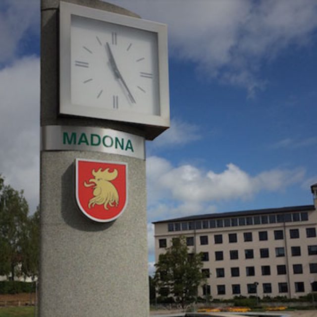
Meetings with local municipalities and educational organizations of Madona and Rezekne (Latvia) to ensure the sustainability of cross-border cooperation projects.
One of the main conditions of project implementation under the cross-border cooperation programme ESTLATRUS was to ensure their sustainability after the finish of these projects.
To implement this requirement the staff of LITSAM met with representatives of local municipalities of Latvia from Madona and Rezekne.
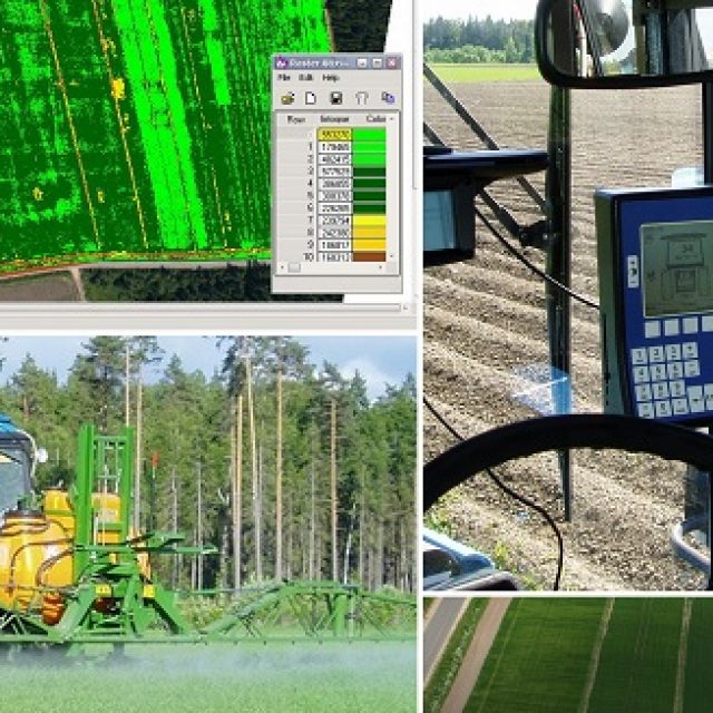
As a result of these meetings and discussions high quality of GIS platform RegionView implemented in project INFORM execution was noted and the prospects for expanding its use were considered.