On September 03-06, 2019, international scientific conference «Geo-Information for Disaster Management 2019» (Gi4DM-2019) was held in Prague (Czech Republic).
The conference was organized by International Society for Photogrammetry and Remote Sensing (ISPRS) and took place at National Library of Technology.
The main topic of the conference was application of geoinformation technologies and remote sensing data for natural and man-made disaster monitoring and management including flood analysis, forest fire control, landslide, earthquake and geo-hazards monitoring and data processing.
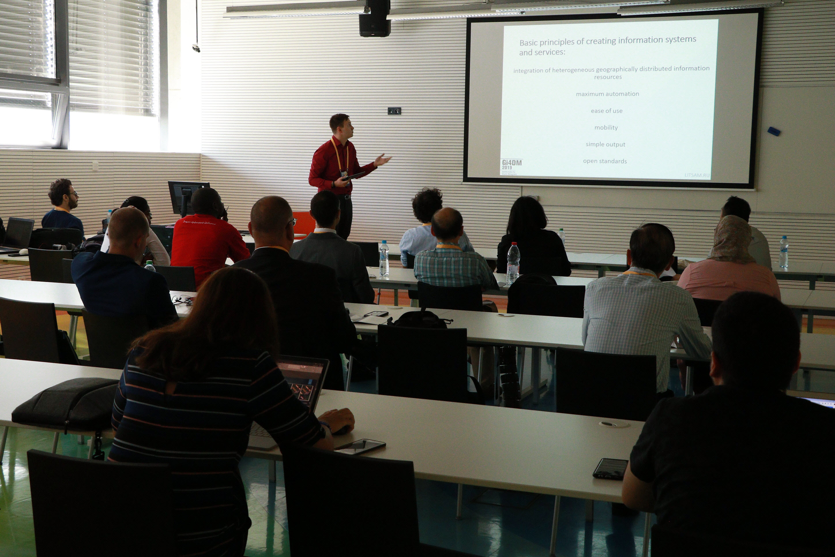
At the section «Remote Sensing and GIS as Tools of Natural and Man-Made Disaster Management & New Approaches in Disaster Management Like Societal Science» LITSAM junior researcher Ilya Pimanov presented a report on the topic:
V. A. Zelentsov, S. A. Potryasaev, I. Y. Pimanov, and M. R. Ponomarenko. Integrated use of GIS, remote sensing data and a set of models for operational flood forecasting // Int. Arch. Photogramm. Remote Sens. Spatial Inf. Sci., XLII-3/W8, 477–483. https://doi.org/10.5194/isprs-archives-XLII-3-W8-477-2019, 2019.