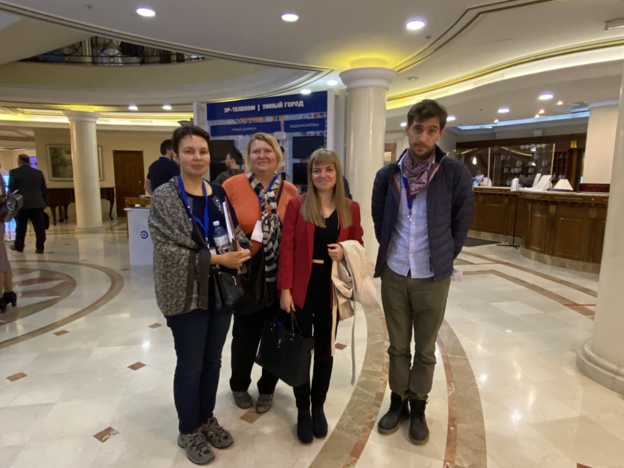
On October 02, 2020, within the framework of the All-Russian Forum “IT Dialogue”, a round table “Possibilities of using satellite data provided by Copernicus Program for managing the development of territories” was held. The event was organized by BalticSatApps project partners from Russia to raise awareness of the possibilities of applying Earth observation data and technologies, especially – data provided by European Copernicus program.
At the event, LITSAM representative made a report “Potential of applying Earth observation data to manage the development of territories” and discussed talking about the possibilities of using this data and already implemented projects in this area.
The interface for interaction of Russian users with remote sensing data (including Copernicus data), developed within BalticSatApps project with the support of LITSAM specialists, was also demonstrated.
The event was also attended by representatives of St. Petersburg Information and Analytical Center and Russian-European Innovation Partnership. Representatives of the Department of Cartography and Geoinformatics (St. Petersburg University) – head of department Evgeniy Panidi, senior lecturers Tatiyana Andreeva and Natalia Pozdnyakova – participated as listeners and provided an interesting discussion on topical issues and problems of using satellite data in various thematic fields.