Water driven rural development in the Baltic Sea Region
LITSAM participation:
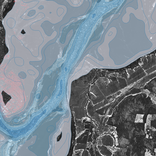
WP3 Advancing new technologies and methods:
- 3.2 Using digital maps and data for complex decision making at different scales
- 3.3 Adapting spatial planning methods to landscape level water management and risk mitigation
The main tasks of LITSAM:
- adaptation of the information platform “Region-B” for the placement and visualization of geospatial data on the territories of pilot zones in the Russian Federation (Leningrad and Kaliningrad regions);
- placement of data received from Russian partners.
The project is a part of Interreg Baltic Sea Region program.
Duration:
07.2019-12.2021
Project implementers:
23 organizations from 9 countries, including:
Swedish University of Agricultural Sciences – lead partner;
Institute of Agricultural Economics and Rural Development (IAERD) – branch of SPC RAS.