Zelentsov, V., Potryasaev, S., Pimanov I., Mochalov V. Software suite for creating downstream applications and thematic services on the base of remote sensing data processing and integrated modelling // Proceedings of the international Geoscience and Remote Sensing Systems Symposium (IGARSS 2018), Valencia, Spain, pp 3477-3480 (2018). DOI: 10.1109/IGARSS.2018.8519066
Pimanov
IGARSS 2018
News
On July 22-27, 2018 the world’s largest forum on the topic of remote sensing International Geoscience and Remote Sensing Symposium (IGARSS 2018) took place in Valencia (Spain).
The forum is annually organized by IEEE Geoscience and Remote Sensing Society.
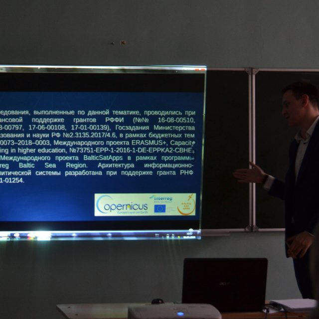
On section «Advances in Model-data Integration and Assimilation» LITSAM junior researcher Pimanov Ilya presented the following report:
Software suite for creating downstream applications and thematic services on the base of remote sensing data processing and integrated modelling (Authors: Zelentsov V.A., Potriasaev S.A., Pimanov I.Yu., Mochalov V.F.).
During the conference, a meeting was held with colleagues from the National Research Council of Italy and the questions of further cooperation were discussed.
InMotion project meeting at SPIIRAS
News
On June 23 – July 9, 2018, in the framework of ERASMUS+ project «InMotion – Innovative teaching and learning strategies in open modelling and simulation environment for student-centered engineering education» the 1st International Open Summer School 2018 was held in St. Petersburg.
This event was organized by St. Petersburg State Marine Technical University, Peter the Great St. Petersburg Polytechnic University and St. Petersburg Institute for Informatics and Automation of the Russian Academy of Sciences.
On July 6, 2018, the project participants and more than 40 students from partner universities visited SPIIRAS, where LITSAM representatives made several reports on the topic of laboratory’s current scientific activities.
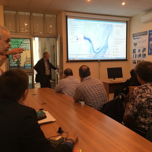
The head of LITSAM Professor Sokolov B.V. spoke about modern technologies of complex objects and systems modeling . Chief researcher, Professor Zelentsov V.A. reported about technologies of designing and using thematic services based on modern and perspective platforms. As an example of practical implementation of such technologies Professor Zelentsov V.A. and junior researcher Pimanov I.Yu. showed the work of operational river flood monitoring and forecasting system «Prostor» created under the Russian Science Foundation grant and made a report about the possibilities and the experience of using remote sensing data for verification of monitoring and forecasting results.
During the seminar project partners discussed the current stage of the project and the prospects for further cooperation.
Another stage of the project is completed
News
On June 15, 2018, the meeting of the commission from Committee on Communications and IT of the Leningrad region was held at Regional navigation information center in order to evaluate the results of the 3rd working period of the project “Development of the Leningrad Region Spatial Data Fund”.
LITSAM senior researcher, Candidate of Technical Sciences Semyon Potriasaev and junior researcher Ilya Pimanov took part in the meeting and successfully demonstrated the obtained results.
LITSAM presented the developed web application for georeferencing the objects of the terrain and the improved module for calculating and building connection between spatial objects in spatial data fund (SDF).
As a result of the meeting the commission decided to continue the work on developing Leningrad Region Spatial Data Fund.
Use of space radar sensing data for verification of results of short-term forecasting of high water flood
Literature
Pimanov I.Yu., Ponomarenko M.R. Use of space radar sensing data for verification of results of short-term forecasting of high water flood // Proceedings of International scientific practical conference of students, graduates and young researchers «Geography in the modern world: century progress and new priorities» dedicated to the 100th Anniversary of the creation of the 1st special geographic higher educational institution in Russia – the Geographical Institute – and held within the framework of the XIV Big Geographical Festival. – St. Petersburg, 2018, 636-639 [Electronic publication].
14th Big Geographical Festival
News
On April 06-08, 2018 the 14th Big Geographical Festival took place at the Institute of Earth Sciences of St. Petersburg University.
BGF-2018 was dedicated to the 100th Anniversary of the creation of the 1st special geographic higher educational institution in Russia – the Geographical Institute.
Within the framework of the festival on April 07, 2018 the International scientific and practical conference of students, postgraduate students and young scientists was held.
One of the main and most visited sections of the conference is annually “Cartography and geodesy, GIS-technologies in geographical research, land management and cadastres”.
On the section «Remote sensing» (expert of this section was the head of the Department of Cartography and Geoinformatics, PhD Panidi Evgeny Alexandrovich) LITSAM junior researcher Ilya Pimanov presented a report on the following topic:
Use of space radar sensing data for verification of results of short-term forecasting of high water flood (Authors: Pimanov I.Yu., Ponomarenko M.R. ).
Mapping Water Bodies from Space 2nd Conference (MWBS-2018)
News
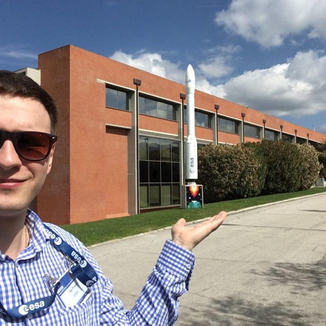
On 27-28 March, 2018 the 2nd International Conference «Mapping Water Bodies from Space (MWBS-2018)» took place in Frascati, Italy.
The conference is organized by the European Space Agency (ESA) and held at ESA-ESRIN (ESA Centre for Earth Observation). MWBS gives an opportunity for specialists in Earth remote sensing data to present their current research on the topic of using satellite data for identification and mapping of water bodies and inundated areas.
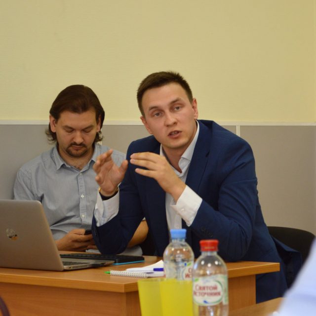
At MWBS-2018 junior researcher of LITSAM Ilya Pimanov presented the following report:
“SAR Based Mapping of Flooded Areas for the Validation of Short-term Flood Forecasting” (Authors: Ponomarenko Maria, Pimanov Ilya).
The presented research attracted the interest of the colleagues.
Winning the young scientists contest
News
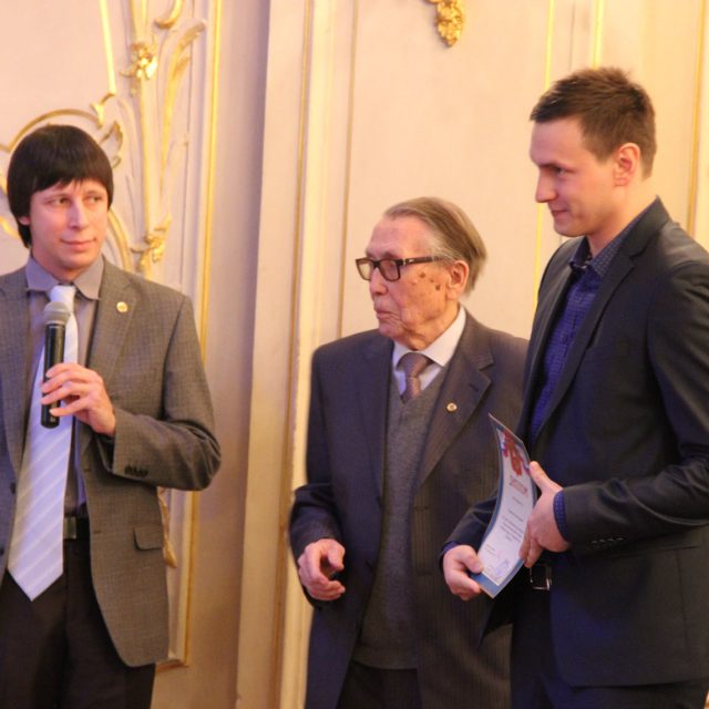
Junior researcher and postgraduate student of LITSAM Pimanov Ilya won the Jubilee competition for the best scientific work among young scientists and specialists of SPIIRAS.
The contest was held among the SRIIRAS researchers under 35 years old. Leading young scientists and PhD took part in the struggle for the main prize.
The winners were awarded on December 19, 2017 in the white hall of the House of Scientists (St. Petersburg) at the celebration of the SPIIRAS anniversary.
River Flood Forecasting System: An Interdisciplinary Approach
Literature
Zelentsov V. et al. River Flood Forecasting System: An Interdisciplinary Approach. In: Refice A., D’Addabbo A., Capolongo D. (eds) Flood Monitoring through Remote Sensing. Springer Remote Sensing/Photogrammetry. Springer, Cham, 2017. DOI https://doi.org/10.1007/978-3-319-63959-8_4
New monograph with our participation
News
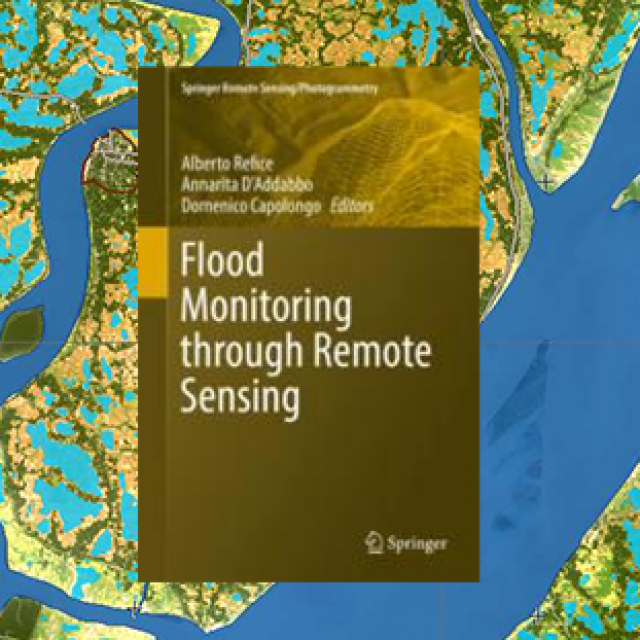
The new monograph “Flood Monitoring through Remote Sensing” published by Springer is now available online.
The staff of our laboratory – S.A. , I.Yu. Pimanov, B.V. Sokolov, V.A. Zelentsov – participated in the creation of this monograph. Together with specialists from Moscow organizations they prepared the chapter “River Flood Forecasting System: An Interdisciplinary Approach” that presents the main results of developing river flood operational forecasting system on the basis of service-oriented architecture and remote sensing data.
The monograph is the result of cooperation with scientists from the National Research Council of Italy on the topic of remote sensing data processing for flood mapping, monitoring and forecasting.

